
(Click to enlarge - 364Kb)
Kentaro Mori, November 27th, 2003
Revisions:
12.01.2003
12.02.2003
12.15.2003
01.13.2004
01.14.2004
This is a nautical chart of the Trindade Island (Chart #21):
(Click to enlarge - 364Kb)
This a photo of the island taken from a southeastern position:

(Click to enlarge)
Legends:
1- Pão de Açúcar,
2- Pc. Desejado,
3- Pc. Trindade,
4- Pc. Preto,
5- Pc. Do Vigia,
6- Mo. Das Tartarugas,
7- Unnamed peak (345 m);
8- Unnamed peak 309 m,
9- Crista do Galo,
10- Obelisco.
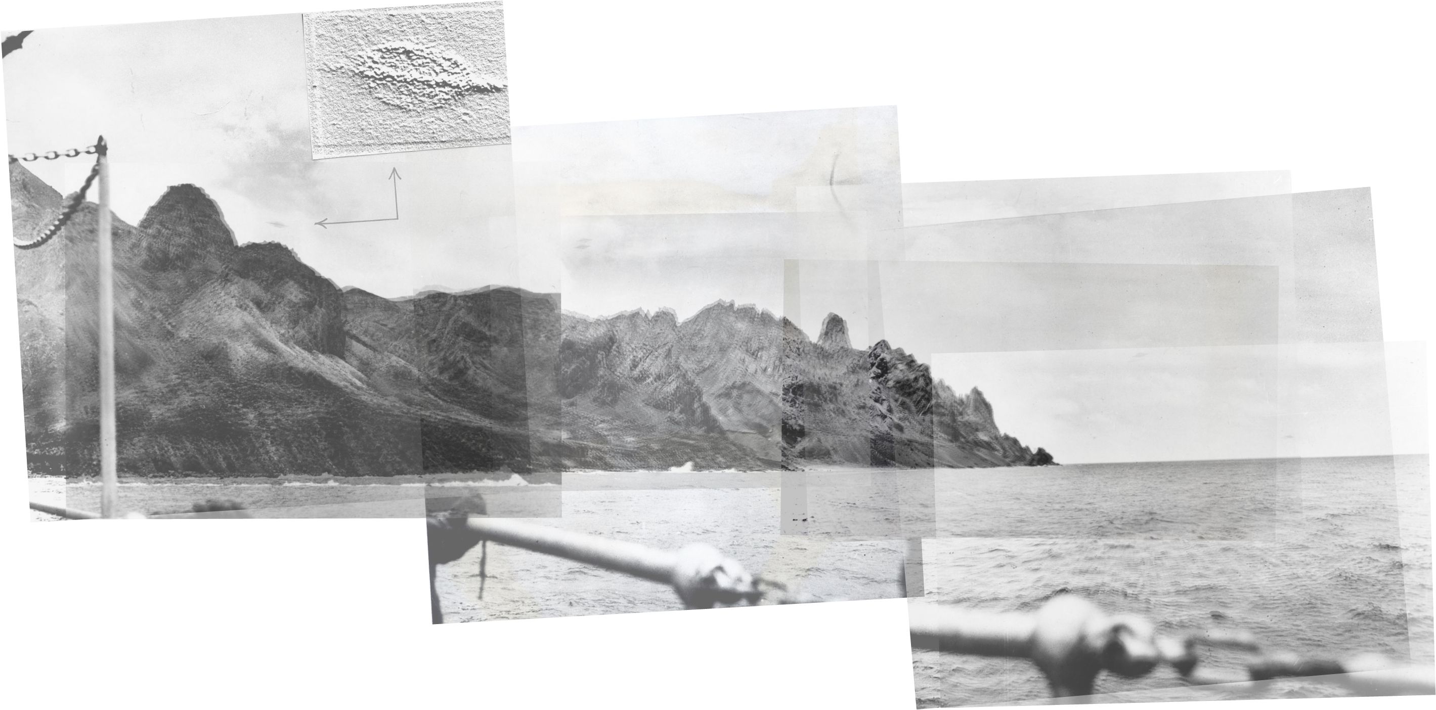
This is a panorama of the four Barauna photos (built from eight first print scans, from two different sources):
(Click to enlarge - 327Kb)
There are two proeminent peaks on the panorama (here from just one source). The identification of them is commonly given as the Obelisco (Obelisk) at the right and the Desejado Peak at the left.

Things do not match very well though. There's now no doubt that the feature at the right is the Obelisco, but if the peak at the left was the Desejado peak, the 'Enseada dos Portugueses' should be clearly visible. The Desejado Peak is also the highest point of the Island, but the panorama indicates that the peak at the left is not the highest point. The identification of the left peak remains uncertain, but we have a suggestion.
This is a photo of the island taken from an eastern position:

(click to enlarge)

(Click to enlarge)
Above is a comparison of the photo of the Island taken from an eastern position, and the panorama of photos of Barauna. We can suggest that the peak at left is the unnamed peak numbered 8 (309m high) on a previous photo of the Island. The ship must have been close to it, around the "Ponta do Valado", and the perspective would be responsible for making it look high. The beach seen on the photos is the "Praia dos Cabritos".
This is then a suggestion of the approximate location of the ship when Barauna took his photos (See also Photographer's position). The angles of the UFO on this diagram are also just a suggestion, they have no accuracy value. The shades were produced from a rough 3D model of the Island produced from the topography on the nautical chart (which is not very precise), and are given also as a suggestion.
The legends P1, P2, P3 and P4 are not a suggestion as to the position of the UFO.

(Click to enlarge)
Dec 15th: The above suggestion may be revised soon. The orientation of the ship may not be correct.
Considerations
If this new suggestion as to the location of the ship and the features visible
on the photos is right, it's widly different from what was commonly assumed to
this point (apparently based on a drwaing published on O Globo on Feb 26 that
can be seen on Photographer's position),
and the reports of the sighting have problems. First,
the UFO must have become obstructed by the unnamed peak number 8, which is not
by far the highest point of the Island (309m against +600m of the Desejado Peak), not to say that
this it isn't the Desejado
peak. Saying that it hid behind the Desejado peak, or even mountain, is not by
far accurate.
It hid behind the much lower, but closer features of the Island. As for why the
peak would be given as Desejado, we have a suggestion that will be discussed on
the work regarding the testimony.
More important, it's possible that at the point the photos were taken, the Desejado Peak wasn't even visible. We can see on the third photo that the photographer was already pointing almost to the same orientation as the ship. He could not see much further south beyond the peak number 8 if we assume that on his left were the central parts of the ship, including accomodations. It's probable that he could see the Trindade peak, but it's not much that he could actually see the Desejado peak, actually distant form the unnamed peak #8. And, repeating, even if the could see it, the UFO became obstructed by a much lower and closer peak, our peak #8 on this page.
(Click to enlarge)

(Click to enlarge)
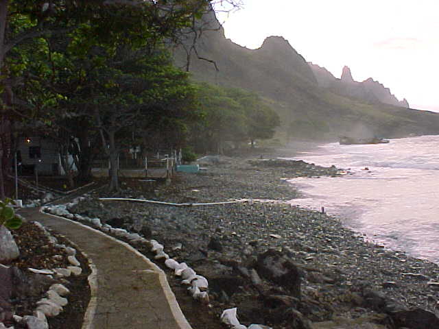
Two things are certain. The ship was not near the Crista do Galo. The photos capture the Crista do Galo from a medium distance point. The other thing is that the photos capture the Crista do Galo on a direction southeast to northwest. Besides all we suggested here about the position of the ship near Ponta do Valado, this can also be seen by this photo of the Crista do Galo taken from the Praia dos Portugueses:
(Click to enlarge)
Look at this comparison, made by fellow Spanish researcher Manuel Borraz:

(Click to enlarge)
The near match reinforces the point that the relevant photos must have been taken from a medium distance from the Galo Crest and in a oblique angle, on a southeast to northwest direction on photos 1 and 4. Look also at the photo below, as pointed out by fellow Mexican researcher Luis Ruiz Noguez:

Note the relevant peak at left, it's part of the peak #8 (which consists of two features highlighted above with a blue line). Note also how the peak appear very big, obstructing the view of peaks behind it, because of the perspective. See the comparison below:

(Click to enlarge)
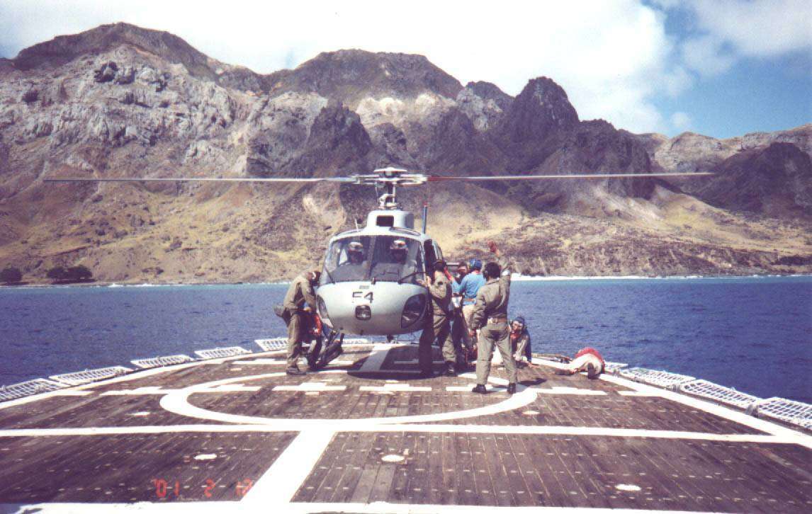
The Feb 13 2001 photo probably was a bit south of the point of the Saldanha, and maybe closer to the island, but the location is almost exactly the same. Near Ponta do Valado, we may add.
END